To the World’s Most Accessible Glacier
Alaska, Spitsbergen, or Tierra der Fuego come to mind when thinking of glaciers, especially the fancy ‘calving’ ones that end in an ocean or lake with big pieces of ice breaking off and spectacularly splashing into the water.
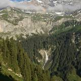
There is a place, however, easily reached from anywhere in Middle Europe and suitable even for a humble day trip where you can pretty much drive up to just such an ice flow extravaganza. While it may not be the largest or prettiest of its kind, it makes for an outstanding and unexpected stroll into a patch of arctic that is otherwise beyond reach for most of us. Welcome to the hidden world of Clariden glacier located about one kilometer South-east of Klausen Pass in the central Swiss canton of Uri.
Not Much History to Talk of
A brief historical excursion has become something of a tradition in this blog, but we are hard pressed to provide much on Klausen Pass and surrounds. The pass has never been a major thoroughfare like majestic St. Bernhard in the South-western corner of Switzerland. Klausen connects the Swiss cantons of Uri and Glarus and up until the late 19th century was mostly used to drive cows to and from their summer pastures around the pass. In 1899 a proper road was finally constructed all the way from Unterschächen and the high valley of Urnerboden in Uri to Linthal, the first village on the Glarus side.
There are no significant historical buildings on the height of the pass (a modest 1952 meters above sea level) itself. A small chapel constructed in the 1930s called Bruder-Klaus-Kapelle in fact replaces a much older one built in 1717 which was demolished to make way for the pass road. On the Western (Uri) side of the pass there is, however, the inevitable and reasonably imposing Klausenpass Hotel complex and in the quite cute village of Urnerboden, on the eastern slopes of the pass, there is a nice church and the hamlet previously also used to house the traditional pass hospice, erected in 1590 to support travelers in need.
Overall the area along the 30-odd kilometers of Klausen road between Linthal and Unterschächen has until recently been a rather low key affair. Urnerboden – despite its picturesque location – sported a fair number of decrepit houses and abandoned ruins, and apart from a few signs advertising direct cheese sales by ‘senns’ (the Swiss cow herdsmen out with the cattle for summer on high pastures producing trademark ‘mutschli’ cheese loafs) there was little indication of economic activity. How things have changed. Ruins have been renovated, just about every herder is trying to make a quick franc from cheese, makeshift eateries have sprung up along the way and as ultimate proof of a boom, the real estate agent crowd has moved in. Good for local folk, I guess.
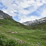
- Lovely Urnerboden mountain valley (c) nupursworld.com
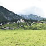
- Urnerboden hamlet, Klausen Pass in the background cloud covered (c) nupursworld.com
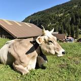
- Content cow in Urnerboden valley (c) nupursworld.com
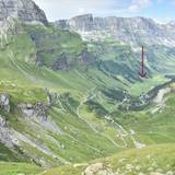
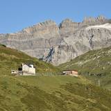
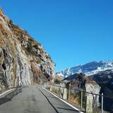
- Westerly approach to Klausen Pass (c) nupursworld.com
- Klausen Pass hotel, a few meters West of Klausen Pass (c) nupursworld.com
How to Reach Glacier Incognito
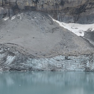
Nostalgia about the good old days when few people cared about – seemingly – drab Klausen Pass aside, Swiss marketing prowess has to this day mysteriously overlooked the potential of Clariden glacier and its lake. There is no sign at Klausen Pass indicating the existence, let alone pointing hikers in the direction of the glacier lake. And that although – apparently – the Clariden glacier lake is the only one in the Swiss Alps (or maybe the Alps altogether) where glacial ‘calving’ can be witnessed. Although this information cannot be scientifically verified, I certainly am not aware of any other place in the Alps where you can watch such a display.
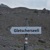
This may be excused by the relative youth of the lake. It formed during the 1980s and does not seem to have a real name yet. On hiking signs further away from Klausen Pass and towards the lake it is generically called ‘Gletscherseeli’ (little glacier lake). It also seems to be known as Griessee, or Griesslisee, although there are other lakes of that name elsewhere in Switzerland.
- The white-red-white markers typical for Swiss hiking trails (c) nupursworld.com
- Gletscherseeli, meaning little glacier lake (c) nupursworld.com
- My self-made pointer to the lake (c) nupursworld.com
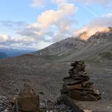
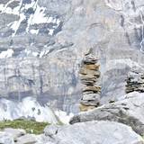
- Stone markers (c) nupursworld.com
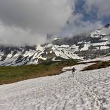
- In early summer snowfields can still be impressive (c) nupursworld.com
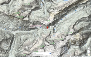
So, due to the uncharacteristic absence of signage (Swiss mountain hikes are usually clearly signposted) here the directions how to get there from parking at Klausen Pass (N46.86829, E8.85621):
- when standing in front of the restaurant at Klausen Pass i.e. looking at the restaurant, turn your head a little towards the left and you will see a small cow stable with a lot of bulky antennas extending beyond its roof; walk towards it
- once you have reached antenna hut, start following the usual white-red-white markings
- this will lead you towards a line of ugly electricity poles; when you have reached those, the path takes a sharp right turn (at a group of large, but flat light-grey limestone boulders), the ascent flattens, the noise from Klausen road retreats and you enter something of a roundish high valley whose far end is marked by hills of rubble – those are actually the glacial moraines of Clariden glacier and behind them you will find the lake
- most of the path heading towards the lake trails along – but mostly not up – a slope until you reach a bifurcation; up to 2017 there was a sign there telling you to head left to reach the lake which has been replaced by a sign in 2018 telling you to go right 🙂 … it actually does not matter which way you go, because the bifurcation is the start of a loop: if you chose the right-hand approach, you will have to pass a few steep rubble hills in downward direction which can be a bit tricky for the inexperienced. If you want to avoid this situation, head left so that the steep rubble passages go upwards and slipping up becomes less likely
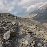
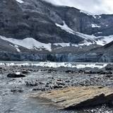
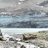
- picking the right-hand branch, the meadows soon become sparser and you enter a fascinating moonscape made of rubble, rocks and boulders and after a few more hills Gletscherseeli will start to come into sight; the glacier is on the southerly side of the lake and in summer it keeps ‘calving’ i.e. slabs of ice crash into the lake creating a big bang and a small tidal wave. Despite appearances, glaciers are actually quite dynamic formations.
- there is no signposted walkway from the loop down to the lake, but if you keep walking along the signed (white-red-white) loop track, you will spot at some stage, in rough direction of the lake, a heap of brownish stones placed on a mid sized boulder (which I assembled). Leave the signed path and walk towards those brown stones. Behind the improvised marker you will see an informal path winding down towards the lake, occasionally marked by ‘Steinmännchen’, piles of stones put up by other hikers.
I have seen people, I think mostly photographers, setting up tent at the shore of the lake, probably to get some shots in the early hours of the following morning. They must be quite noise tolerant as the ice keeps falling day and night. And they also do not seem worried about a particularly large piece of ice crashing into the lake creating a mini tsunami sweeping them down the waterfalls which are fed by the Fätschbach creek (a tributary starts in the lake) just a few hundred meters to the North. Just saying … 🙂 …
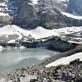
- Clariden glacier lake with the face of the glacier (c) nupursworld.com
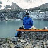
- Good vantage point and picnic bench overseeing Gletscherseeli (c) nupursworld.com
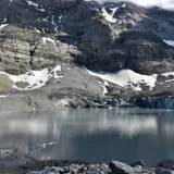
- Clariden Gletscherseeli with the Fätschbach outflow (c) nupursworld.com
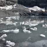
- Mini icebergs in Clariden Gletscherseeli (c) nupursworld.com
It will take you about one to one-and-a-half hours from Klausen Pass to Gletscherseeli and maybe a little less than that to return. The lake area, apart from being a different world with a very own kind of beauty, is a good place for rest, picnic and exploring so add another two hours for enjoying an extended stop at the lake.
Other Items of Interest Along the Way
Every year is different, but usually from mid June to early August the plateau around Gletscherseeli turns into a garden of Eden of alpine flowers. Usually very popular with the ladies!
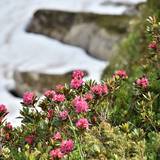
- Alpine roses are a common sight (c) nupursworld.com
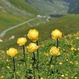
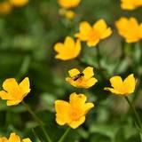
- The globeflower can be seen in early summer (c) nupursworld.com
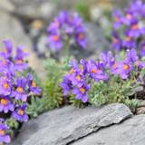
- Alpine toadflax is a tough little flower (c) nupursworld.com
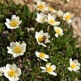
- Mountain avens feeding a bee (c) nupursworld.com
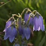
- Bearded bellflower is a rare find around Klausen Pass (c) nupursworld.com
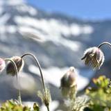
- The alpine anemone between its bloom and its anemone form (c) nupursworld.com
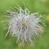
- Alpine anemone in its literal form (c) nupursworld.com
- Marsh marigold appears in masses as soon as the snow recedes (c) nupursworld.com
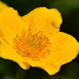
- Marsh marigold in detail (c) nupursworld.com
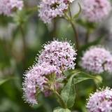
- Probably valerian (c) nupursworld.com
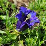
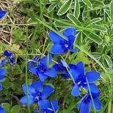
- Iconic blue gentian (c) nupursworld.com
- Spring gentian (c) nupursworld.com
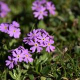
- Tiny bright primula (c) nupursworld.com
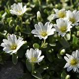
- Mouse-ear chickweed, common at Klausen (c) nupursworld.com
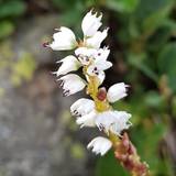
- Eyebright (c) nupursworld.com
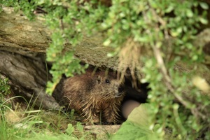
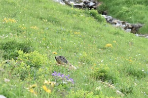
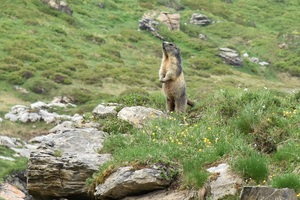
Animal-wise the area is too small and secluded to support ibex or chamois, but there is a colony of marmots living in the area. As of July they are joined by herds of sheep and cows who quickly put an end to the floral glory.
- Young marmot in its den (c) nupursworld.com
- Marmot taking cover (c) nupursworld.com
- Marmot in alert mode (c) nupursworld.com
About half-way to the lake there is large boulder with several memorial plaques attached to it. Those are for people who, No, did not have an accident while on the little loop hike along the glacial face, but fell from much higher up, the Clariden peak which towers above our hiking ground and is of course the origin of the glacier. There is another hiking trail starting from Klausen Pass up to Clariden proper, but you need some genuine alpine climbing and glacier walking experience to tackle this one.
Other Items of Interest Further Afield
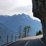
There are thrill seekers who travel all the way to Positano at the Amalfi coast in central Italy to test their driving skills and nerves along the fabled super-curvy and hyper-precipitous coastal road. No need. Head West towards Altdorf and you will get to know your stress resistance (with the other direction being even more challenging). Although this stretch is a lot shorter than the Amalfi to Positano road, it is mostly not secured with a small wall at the edge of the road, meaning that you can enjoy full views of the abyss that expects you, if anything goes wrong.
- Klausen road West bound towards Altdorf (c) nupursworld.com
- Klausen road East bound towards the pass and Glarus (c) nupursworld.com
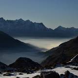
- Altdorf valley in central Switzerland, covered in fog (c) nupursworld.com
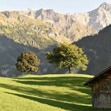
- Chammliberg from Urigen (c) nupursworld.com
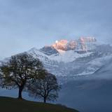
- The Chammliberg vista in late autumn (c) nupursworld.com
- Stäubifall is most amazing when the snow melts in spring (c) nupursworld.com
Views from the road are also stunning and include the (in springtime) massive Stäuber Waterfall.
Last but no least, if you are into cheese, meaning the creamy, mild Swiss type, there are now more than enough vendors along the pass road and also in the large shop in Urnerboden. Prices and quality do not vary much, so stop wherever convenient to try and buy some. Cheese production starts in June and it takes about two months until the cheese builds up discernible taste, so personally I would not buy before early August, or resort to the mature specimen of the previous season.
- Cheese, butter and cream on sale here (c) nupursworld.com
- A “Senn” in cheese selling action (c) nupursworld.com
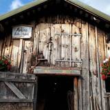
- Rustic cheese manufacture at Klausen Pass (c) nupursworld.com
- Majestic backdrop for cheese making operations (c) nupursworld.com
- Cows being milked twice daily (c) nupursworld.com
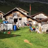
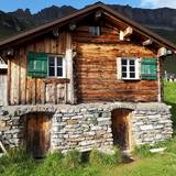
- This has to be the definition of a cute mountain hut (c) nupursworld.com
***
Good to know:
- Fitness: low to average
- Difficulty: easy; there are only few steep sections
- Timing: 1.5 hours up, 1 hour down
- Practical: park at N46.86829, E8.85621; there is a clean public washroom available
- Highlights: definitely the glacier lake; in spring and early summer also the masses of flowers
- Best time: mid June to late September – always check the weather report and the time of sunset
- Recommended equipment: sturdy, high hiking boots, walking sticks, backpack, headlights (if you plan a late return), light umbrella
- Food & drink: too variable for recommendations, but take at least 1 liter of drink per person (more on hot days)
- After the walk: if you like cheese, buy some in the area, preferably after the end of July when you can be sure that it has been produced from fresh mountain-meadow milk
Remember that alpine areas are potentially always dangerous due to rough terrain and highly volatile weather. We are happy to share our experiences, but of course do not take responsibility for whatever you are up to.
